Northern Mindanao / Misamis Oriental / Cagayan de Oro
Cagayan de Oro River
Best for
- River corridor
- Cagayan de Oro
Map address
Why it matters
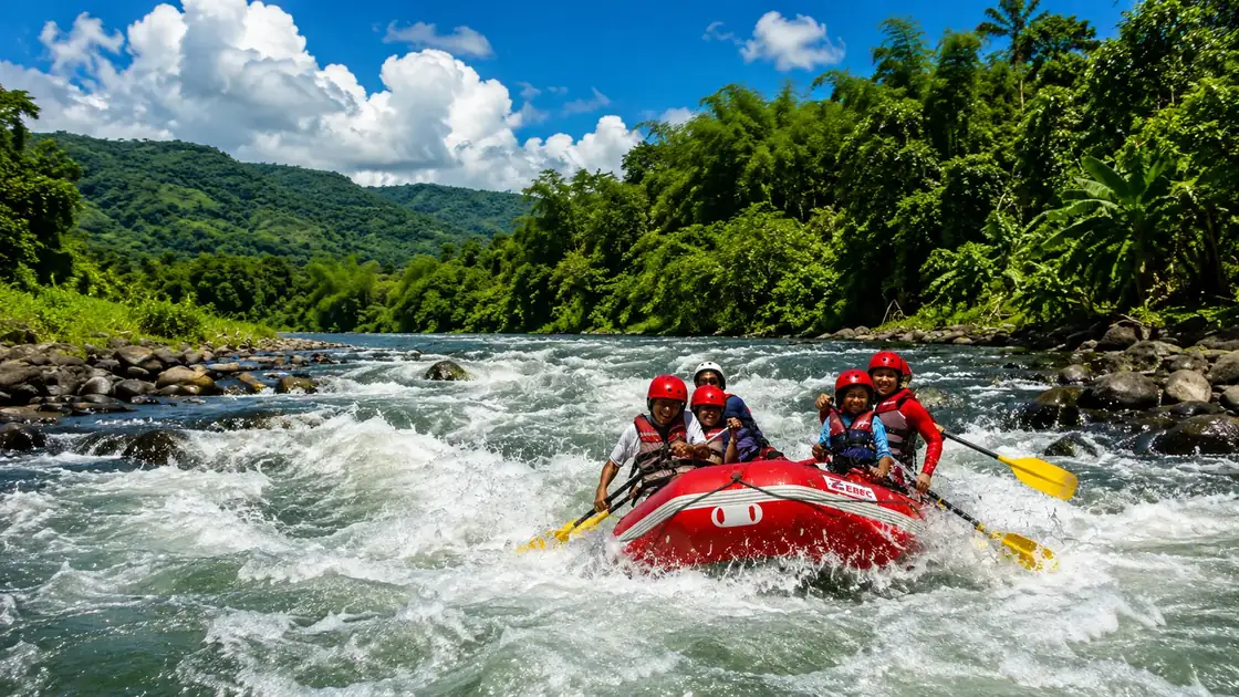
The Cagayan de Oro River flows from the Bukidnon highlands through the city core before emptying into Macajalar Bay. Roughly 90 kilometers long, its watershed covers significant portions of Misamis Oriental and Bukidnon, tying CDO's flood risk to upstream land use. Its tourism identity is whitewater rafting on sections ranging from Class II to Class IV depending on route, season, and water level, but the same river carries the city's deepest disaster memory: Tropical Storm Sendong (Washi) in December 2011 killed more than 1,000 people in CDO alone and swept away riverside communities along the lower river. The river shapes bridge planning, drainage, riverside land use, warning systems, and continuing watershed management debates with Bukidnon.
Local context
The City's River Spine
The Cagayan de Oro River is easiest to understand from the bridges and riverside roads that cut through the city. It is not only scenery; it is part of how people cross CDO, how traffic moves, and how riverside neighborhoods read the weather.
Rafting trips usually begin upstream, where channels full of boulders and rocks create rapids that change by season. Operators choose sections based on water level, group skill, and safety conditions on the day of the run.
Adventure And Risk Together
Commercial operators provide guides, equipment, safety briefings, and shuttle service, but river conditions change quickly. Heavy rain can make the river higher, faster, and more dangerous, while dry months expose more rocks and change the technical character of the rapids. A good operator will brief the route, swimming rules, rescue commands, and what happens if weather changes before launch.
Watershed And City Planning
For visitors, the practical lesson is to treat the river as active infrastructure. Check weather, listen to local advisories, and do not assume a calm view from a bridge means conditions are the same upstream. The river can be a rafting route in one section and a flood concern in another.