Davao Region / Davao del Sur / Davao City
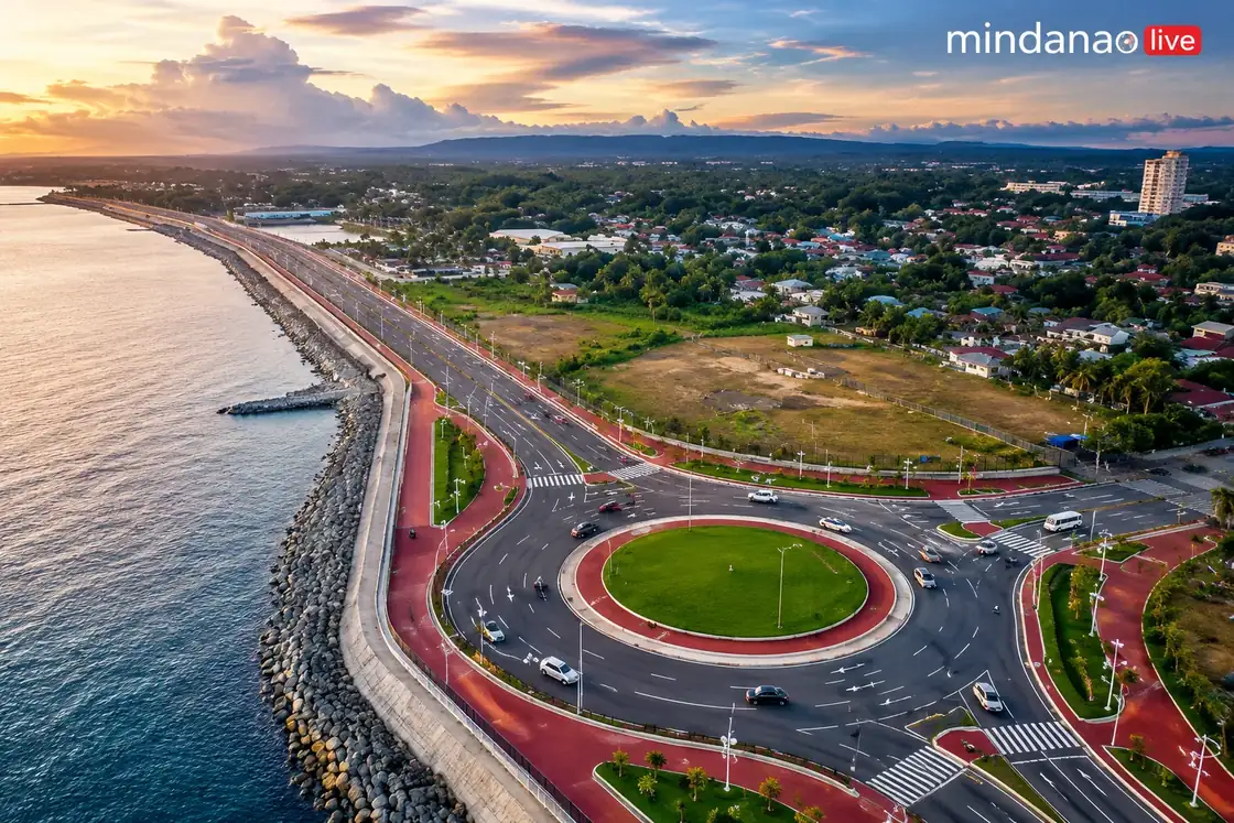
Davao Coastal Road
Best for
- Coastal esplanade
- Davao City
Map address
Why it matters
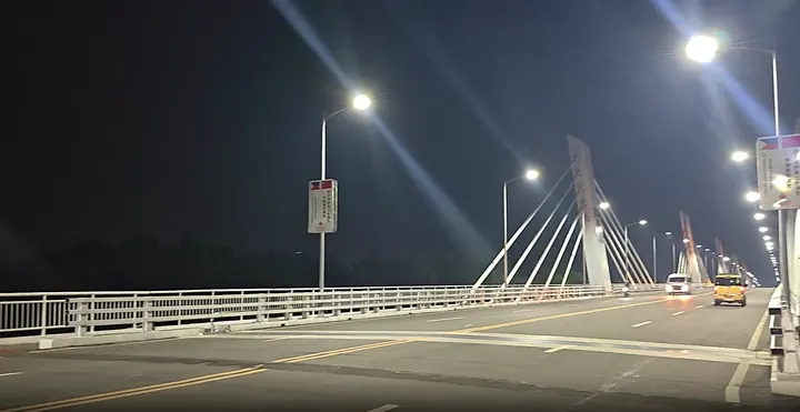
The total cost shows the massive scale of the Davao Coastal Road. When the project was first announced in 2018, the Philippine News Agency reported it as a ₱19.8 billion project, with the first 1.682 kilometer segment costing ₱1.96 billion. By late 2024, the Department of Public Works and Highways had allocated ₱28.5 billion, with ₱2.3 billion in additional funds still needed to finish the remaining sections. This brings the total projected cost to over ₱30.8 billion, which includes the ₱3.126 billion China-funded Bucana Bridge. The overall length of the corridor is listed between 17.33 and 18 kilometers in early city reports, though later DPWH updates specify a 15.674 kilometer active project length. While built to divert traffic from the city center, the road has become a major fitness area. On Sundays, a car-free window runs from 4:00 a.m. to 8:00 a.m. to allow people to exercise. During these hours, the northbound seaside lane is reserved for running, walking, and jogging, while the southbound lane is open to cyclists.
Local context
Local details to know
Davao City Government guidance and January 2026 updates describe Car Free Sundays on the Coastal Road from 4 a.m. to 8 a.m. for recreation and physical fitness. The northbound seaside lane is designated for running, walking, and jogging; the southbound lane for cycling during the car free window. SunStar reported that Davao City extended the Car Free Sunday route to Bucana Bridge starting March 8, 2026, adding space for walking, jogging, cycling, and fitness activities.
DPWH and Davao City reporting have described the corridor as roughly 17.33 km to 18 km. Later DPWH Davao updates also cite a 15.674 km active project length.
Bucana Bridge links Barangay 76-A or Bucana and Matina Aplaya over the Davao River. That bridge is needed for the coastal road to connect the city's southern and northern or eastern coastal sections.
Southern sections begin around Bago Aplaya, Tulip Drive, and Matina Aplaya, then continue through Times Beach, Roxas Avenue, Sta. Ana, and toward the Agdao / R. Castillo side. The first segment started in 2017, according to Philippine News Agency coverage citing DPWH-11. The Bago Aplaya to Times Beach segment opened to the public on July 1, 2023.
By November 2024, DPWH Davao reported 12.034 km finished, 2.424 km under construction, and 0.447 km not yet started out of 15.674 km. Fact check and news reports say Bucana Bridge was partly funded by a China ODA grant tied to a 2018 bilateral agreement under the Duterte administration.
DPWH issued notice to proceed on July 1, 2022. After President Ferdinand Marcos Jr. inspected the bridge in December 2025 and described Davao legacy projects, critics and Duterte allies disputed credit for the project, pointing to earlier China funding and Duterte era work. Separate 2025 reporting said four lanes of Segment B were scheduled for completion by March 2026.
Trip videos