Zamboanga Peninsula / Zamboanga del Norte / Dapitan City
Dapitan city center and Rizal route
Best for
- Heritage city route
- Dapitan City
Map address
Dapitan city center and Rizal route, Dapitan City, Zamboanga del Norte, Zamboanga Peninsula
Why it matters
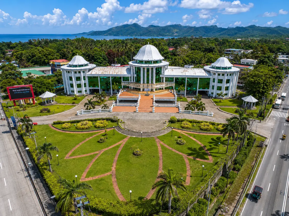
Dapitan is a city in Zamboanga del Norte. It forms an urban corridor with Dipolog for trade and services. Jose Rizal lived here in exile from 1892 to 1896. The Rizal Shrine preserves his home and clinic. The city also has a port and markets along the bay. It is a quiet place with a rich history related to the national hero.
Place guide
Dapitan Beyond the Rizal Shrine
Dapitan is 30 to 40 minutes by road from Dipolog along a well paved coastal highway. Most visitors fly into Dipolog Airport and cover both cities in one or two days. The Rizal Shrine is the main cultural stop, but the city itself has a bayfront character that is good for a slow morning walk through the public market and toward the water.
Rizal Shrine Details
Jose Rizal lived in Dapitan from July 1892 to July 1896 during his Spanish colonial exile. During that time he ran a school, built a clinic, created a relief map of Mindanao, conducted natural history research, and worked on civil engineering projects like water supply and land reclamation. The shrine complex preserves reconstructions of his home, school, clinic, and farm. The relief map of Mindanao, made from sand, soil, and stones, is one of the most distinctive exhibits in the complex.
The City Side of Dapitan
Dapitan Bay is calm most mornings. The public market near the landing area is active from 5 to 9 AM and sells fresh seafood and local produce. The historic waterfront area near the old landing point gives context for Rizal's arrival by boat from Manila in 1892. Port movement for interisland ferries also happens from Dapitan's pier area, connecting to Cebu and other Visayas ports.
Best Time to Visit
Morning visits take advantage of cooler temperatures and active port life. The dry season from November through April gives the clearest bay conditions. Combining Dapitan with Linabo Peak in Dipolog makes for a full two day itinerary.
Local context
Local details to know
During his four year detention, Rizal operated a farm, established a school for local boys, and practiced medicine, turning the estate into a working community project. The relief map of Mindanao that Rizal made on the shrine grounds remains one of the city's most distinctive heritage features. It keeps the exile story tied to the actual grounds rather than only the monument label.